Satellite data for enhanced regional governance

In the realm of regional governance, the integration of satellite data into local and regional Spatial Data Infrastructures (SDIs) is proving to be a transformative force. The European Earth Observation System, Copernicus, offers a wealth of open data that can bolster decision-making, optimise resource management, and elevate the delivery of public services. However, despite its potential, the adoption of satellite data at the regional level faces significant challenges, including competency gaps and limited awareness among decision-makers.
The Interreg Europe project SATSDIFACTION seeks to address these challenges by helping regions harness the transformative power of satellite data for improved regional governance. Two noteworthy practices emerging from Podkarpackie, Poland, underscore the profound impact of integrating satellite data into regional governance:
Podkarpackie’s approach: leveraging open satellite data for informed regional governance
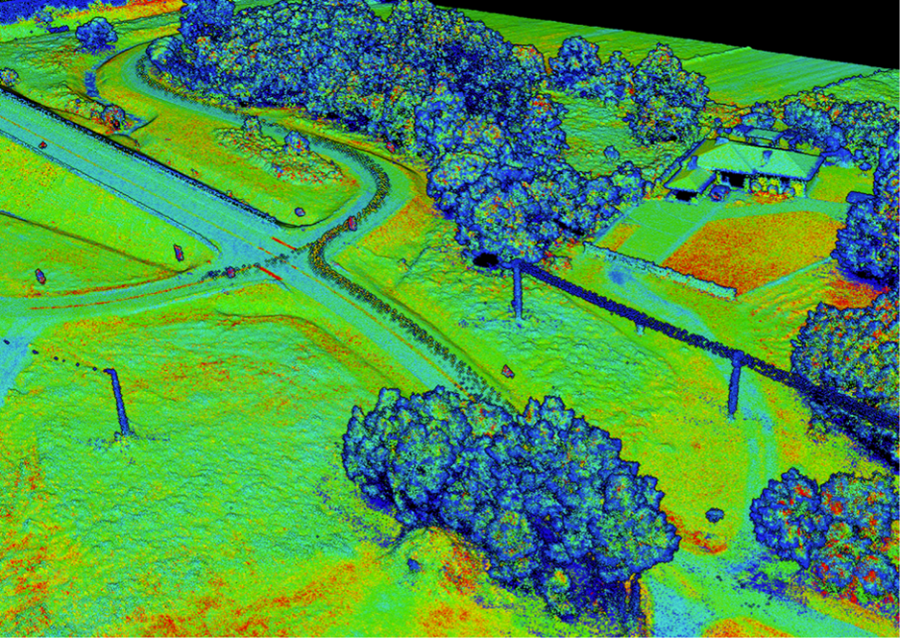
Satellite data offers a pathway for more efficient dynamic land use analysis, challenging the reliance on traditional cadastral data prone to errors and infrequent updates. Embracing open satellite data from the Copernicus programme, the Podkarpackie Office of Geodesy and Agricultural Areas (POGAAR) has developed dynamic comparative land cover models, offering precise insights into agricultural areas’ structure and dynamics.
Despite challenges such as low image resolution, these results have been instrumental in fostering sustainable rural development. The success of this pilot initiative has spurred its full-scale implementation, paving the way for other regions to follow suit.
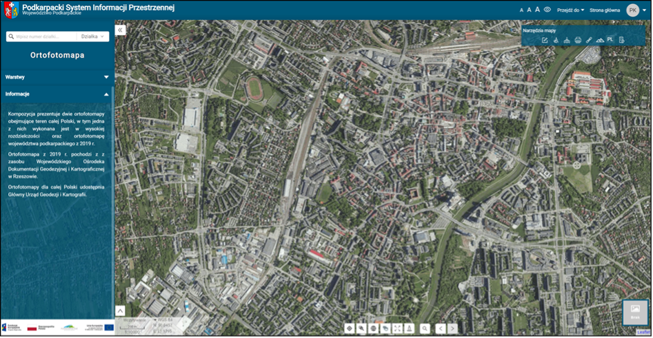
Recognising the transformative potential of spatial data, Podkarpackie embarked on another visionary endeavour—the creation of the Podkarpackie Spatial Information System (PSIS). This ambitious initiative aims to establish a regional open digital platform to facilitate online service provision, digitise public sector information, and enable evidence-based policymaking across various sectors. By integrating satellite data into its policymaking process, Podkarpackie has enhanced its capabilities in urban planning, emergency management, and climate change adaptation.
The success of PSIS is evidenced not only by its extensive reach, with 22 local government partners and significant user engagement, but also by its tangible impact on digital skills development and accessibility to public sector information.
Lessons learned
Interreg Europe project SATSDIFACTION and these good practices from Podkarpackie offer valuable insights and inspiration for European policymakers for enhancing regional governance through satellite data. By harnessing satellite data from the European Earth Observation System, Copernicus, and their integration into Spatial Data Infrastructures (SDIs), regions can empower themselves to make evidence-based policy decisions and drive sustainable development.