Implementation of satellite data on changes in the agrarian structure/program of agricultural works.

About this good practice
Analyses of the structure of agricultural areas to monitor changes in land use are carried out in Poland by regional governments under the Act of 17 May 1989 on Geodesy and Cartography. The methodology is based on archival cadastral data collected and provided by geodetic and cartographic documentation centres. Cadastral land use data contain errors due to insufficient and infrequent updating, so the Podkarpackie Office of Geodesy and Agricultural Areas in Rzeszów (POGAAR) has introduced land use change analyses based on open satellite data from the Copernicus services.
This enabled the development of the dynamic comparative land cover type models. The interpretation of the data ensured that the land use change characteristics could be calculated based on the current structure of the cadastral database. The accuracy was confirmed by comparison with archival aerial photographs. Despite the low resolution of the satellite images and the limited reliability of the land cover classification, the results are accurate and allow the precise detection of various phenomena in the structure of agricultural areas, contributing to sustainable rural development.
The success of the pilot led to the implementation of this practice in the work of POGAAR (author and the main beneficiary of the good practice). The Marshal's Office of the Podkarpackie Region is also a beneficiary, as the Marshal is obliged to carry out programming activities and analysis of changes in the agrarian structure.
Expert opinion
Resources needed
Due to the use of open data, the practice does not require direct involvement of financial resources. It is necessary to systematically obtain data and carry out analyses by an employee with knowledge and skills in programming agricultural works and GIS software together with programming elements.
Evidence of success
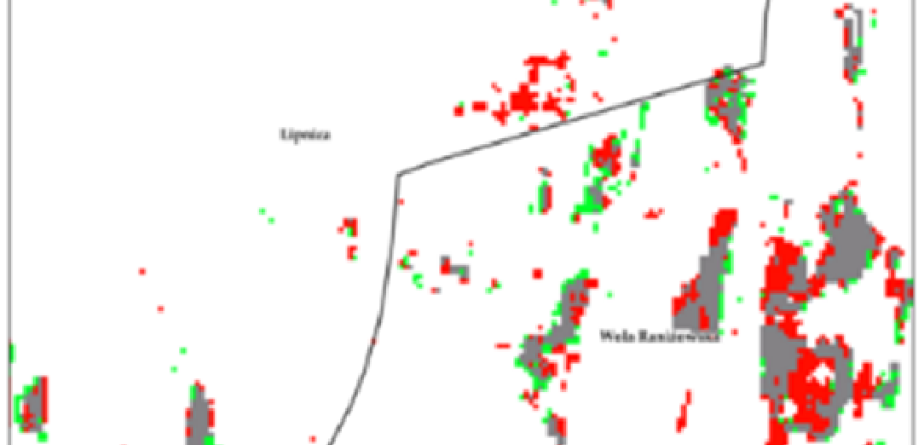
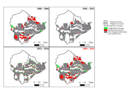
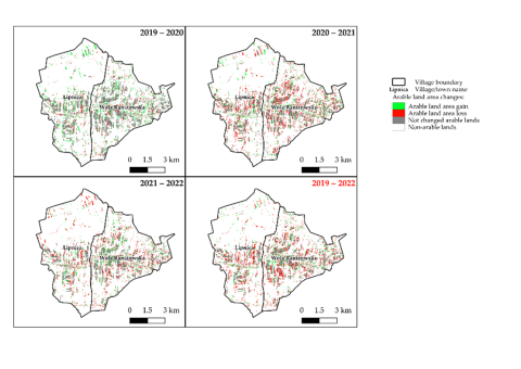
The change in the methodology of land use change analysis has made it possible to visualise the dynamics of the ongoing phenomena (e.g.: Fig. 1 and 2, "Images" section). An alternative quantitative summary of the agricultural area acc. to cadastral data is shown in Fig. 1. As can be seen, significant update of cadastral data took place in 2018-2019, indicating the particularly low utility of this data. The use of satellite imagery was a key condition for the reliability of the survey results.
Potential for learning or transfer
The practice can be adapted to the needs of operators in other European regions due to the wide availability of satellite data under the Copernicus programme and the simple and universal methods of processing and interpreting spatial information. Differences between methodological and legal standards in different countries and regions can be a factor hindering the interregional transfer of good practices. However, the technical solutions used, including the criteria for reclassification of land cover forms to land use, can be suitably modified and adapted to the respective cadastral system. On the other hand, in areas where the legislation does not provide for the monitoring of land use changes or requires the use of other strictly defined methods, it is possible to implement the proposed practice for research and control purposes.
Further information
Images


Good practice owner
You can contact the good practice owner below for more detailed information.
