Explore2 – Les futurs de l’eau

About this good practice
Explore2 coordinated the French hydroclimatology research community in a prospective exercise for hydrology on a national scale, and produced results that designed for water managers to adapt to climate change in local catchments.
Explore2 used (1) a nested approach to access local climate and catchment scales, (2) a multi-model, multi-scenario approach to understanding future uncertainty: (i) 3 GHG emissions scenarios, (ii) a set of 17 climate modeling chains and 2 bias correction methods, and (iii) 9 surface hydrology models and 4 groundwater hydrology models, and (3) the definition of 4 narratives to capture the diversity of climate futures.
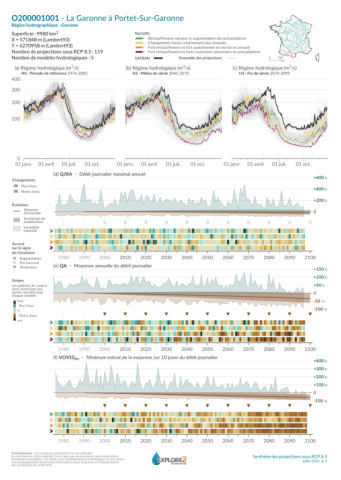
Results were summarized in the form of data sheets:
- Diagnostic sheets: What are the sectors and types of catchments where hydrological models are less effective?
- Synthesis sheets: How do the hydrological regime evolve under a high emissions scenario in the middle and at the end of the century?
- Uncertainty sheets: What are the sources of uncertainty affecting changes in annual streamflow, high flows and low flows? What are the long-term trends and the uncertainties surrounding these trends?
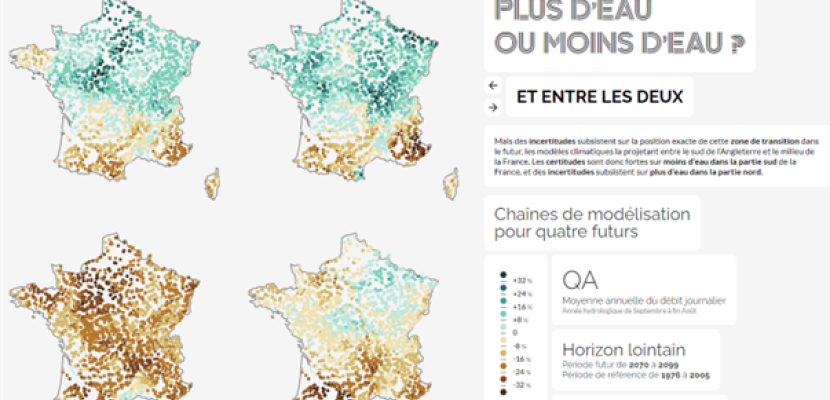
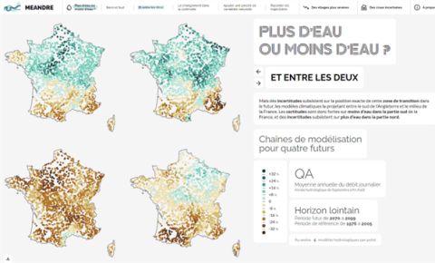
Hydrological projection time series were made available in a dedicated climate services web portal (https://www.drias-eau.fr), reports, sheets and GIS files in a dataverse (https://entrepot.recherche.data.gouv.fr/dataverse/explore2), and results are available through an interactive portal (https://meandre.explore2.inrae.fr).
Expert opinion
Resources needed
Explore2 was funded by the French Ministry of the Environment and the French Biodiversity Agency (OFB). The total grant was 979 k€.
Evidence of success
The final seminar hosted by the Ministry of the Environment (28/06/2024) attracted 126 on-site and 474 online attendees.
Intermediate results were used in 6 prospective studies as part of the EU LIFE Eau&Climat project (https://www.gesteau.fr/life-eau-climat).
Climate projections have been used to define the TRACC (reference trajectory for climate change adaptation.
https://www.ecologie.gouv.fr/politiques-publiques/trajectoire-rechauffe…).
Potential for learning or transfer
The 3rd national climate adaptation plan (PNACC3, https://consultation-pnacc.ecologie.gouv.fr/publications) made the TRACC regulatory for adaptation and planning studies (axis 2, measure 23), and recommended Explore2 hydrological projections to be used as a basis for defining hydrological impacts associated with the TRACC (axis 2, measure 21, action 1).
Explore2 and the associated natural streamflow and groundwater projections forms – as a measure of future “water resources” – the basis for local-to-regional adaptation and planning studies that also include water use scenarios and water management scenarios. Some of such studies have been submitted as part the EU LIFE AWARE proposal in 2024.
Tools developed by Explore2 – i.e. 3 types of catchment-scale sheets, Meandre interactive portal – are essential to summarize and operationalise the very large amount of information produced by the project. They help focusing on certainty and uncertainty, and on essential take-home messages.
Further information
Images


Website
Good practice owner
You can contact the good practice owner below for more detailed information.
