Open Data MP

About this good practice
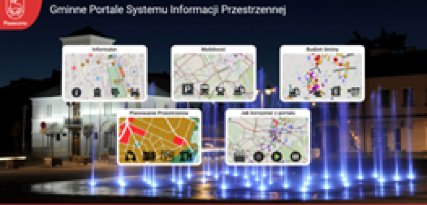
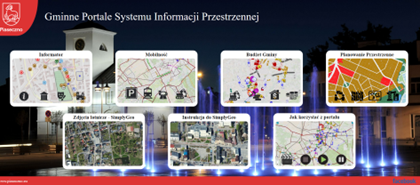
The main issue addressed by the local institution was the lack of integration between strategic decisions and administrative actions. To solve this Piaseczno developed the Spatial Information System (SIS) and the SDI Module. The city, being a complex organism, needs up-to-date open data and indicators for smaller areas such as cadastral plots, precincts, addresses, geodetic districts, local spatial development plans, local monuments, conservator's care zones, local craftsmen, or public transport with parking spaces for citizens. GIS technology powers the system, facilitating the collection and analysis of spatial data from various sources, while the SDI Module ensures this data is managed and updated in real time Open Data such as the number of building permits issued, the number of inhabitants on a street, or the distance from the nearest bus stop, allows decision-makers to understand spatial, economic, and demographic conditions This enables them to issue permits, oversee developments, and conduct necessary analyses. These tools are crucial for strategic management and policy-making for spatial development, revitalization, and project planning. Quick access to reliable information on the SIS portal ensures informed decisions, while continuous updates enable effective management of infrastructure, zoning, monuments, and transport, improving municipal resource management and budget planning.
Expert opinion
Resources needed
The SDI Module costs 6,000 EUR/month, covering server purchase, technical support, and software updates. 6 municipal employees, responsible for various tasks, also update spatial data as part of their duties.
Evidence of success
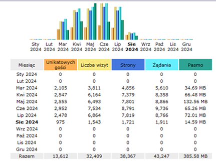
Piaseczno earned the title of Local Government Digitization Leader in Mazovia for its innovative spatial data publication. The city continuously expands its spatial information portals, adding new thematic layers and features. Residents can access info on neighbourhoods, investments, local plans, transport, and parking. The website records about 7,000 visits, with 2,500 unique users seeking information on the portals.
Potential for learning or transfer
This practice is interesting for local public administration because it highlights the importance of reliable, multi-layer spatial data in effective municipal management. By collecting and visualising data in a Spatial Information System (SIS), Piaseczno has enhanced its ability to make informed decisions across various areas, such as budgeting, urban planning & traffic safety. The system integrates data from internal procedures and external sources, providing a comprehensive tool for officials. Key success factors for transferring this practice include access to accurate data, strong interdepartmental collaboration & robust technical infrastructure. Multi-layer spatial data is one of the basic tools for officials' work e.g. on the municipal budget and then on supervising its implementation. On this basis, we also develop concepts for improving road traffic safety we have quick access to demographic data of the selected area & we have a visualised real estate market and its turnover.
Further information
Good practice owner
You can contact the good practice owner below for more detailed information.


