Rebuilding (or not) after the flood in Saint-Omer

Objective and context of the matchmaking
The matchmaking was requested by the Communauté Agglomération Pays Saint-Omer - CAPSO. The region experienced major flooding a year ago (several hundred homes affected), which exceeded all known forecasting models and prevention documents and recent land shaping investments in force.
Local stakeholders are wondering how these heavily urbanised areas (residential and business/industrials districts) should be developed in the very short term – within 2 to 5 years - and in the future – until 2040. Saint Omer is a local authority with legal responsibilities in both land/urban management and water cycle management, over 53 municipalities. The agglomeration is in the process of updating its prescriptive Local Urban Management Plan by 2027.
Policy challenges
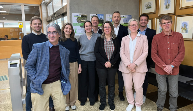
With the matchmaking CAPSO wanted to obtain advice, benchmark and experience on the topic, which they could implement in their short-term and long-term plans for the area. To try and find answers to these questions, the following peers participated to share their knowledge and insights:
-
Rene Reisner, Climate Ministry, Estonia
-
Mathias Scholz, UFZ - Helmholtz-Zentrum für Umweltforschung, Germany
-
Ignacio (Natxo) Lacomba, LIMNE Foundation, Spain
Key learnings from the matchmaking session
During the matchmaking, several key recommendations were shared by peers to tackle floods through management, planning, public engagement and integration.
- Adopt a multifunctional approach for flood-prone areas by integrating nature restoration, recreational opportunities, and ecological resilience.
- Expand and protect flood-prone areas for natural flood management by creating floodplain parks that serve both mitigation and recreational purposes. Estonia’s approach highlights the cost-effectiveness of nature-based solutions in mitigating floods while offering co-benefits such as recreation and biodiversity enhancement.
- Promote flood-adapted land use in risk-prone areas by integrating wetlands, agricultural zones, and water-resilient infrastructure.
- Where landowners agree, convert flood-prone areas into renaturalised floodplains to enhance water retention and biodiversity.
- High-risk areas may need to be deconstructed and renaturalised, while other zones can be rebuilt using flood-resilient designs.
- Encourage relocation in critical cases where adaptive measures are insufficient to protect communities.
- Assess the potential for nature-based solutions across entire catchments, incorporating wetlands, green infrastructure, and restored floodplains alongside traditional engineering solutions.
- Implement a balanced approach that combines nature-based and grey infrastructure solutions for effective flood management.
- Promote nature restoration initiatives, including reforestation and floodplain restoration, to enhance natural water retention.
- Communicate the cost-effectiveness of wetlands, floodplains, and green infrastructure in reducing flood risks.
- Raise awareness about flood risks, noting that 2-20% of Europeans live in flood-prone areas.
- Develop and implement early warning systems and response protocols to enhance preparedness for extreme weather events.
- Foster a natural and attractive living environment, as people are drawn to areas with strong environmental quality.
- Employ community-led planning and co-creation through participatory workshops and collaborative decision-making processes.
- Organise local climate talks to discuss flood risks and adaptation strategies.
- Build public acceptance by showcasing real-life examples, organising study visits, offering incentives for adaptation, conducting small-scale pilot projects, and maintaining transparency through regular updates.
- Communicate the economic and social benefits of ecosystem services to reinforce their value.
- Improve understanding of past flood events and their impacts to enhance risk perception.
- Transparent communication, financial incentives, and participatory planning are key to securing public support for flood mitigation measures.
- Integrate flood risk considerations into territorial and land-use planning to enhance long-term resilience.
- Strengthen collaboration between water management authorities and urban planners to develop cohesive flood risk strategies.
- Design flood-resilient infrastructure and improve drainage systems to prevent urban bottlenecks and water flow obstructions.
- Promote flood-proofing techniques, including elevating structures, using water-resistant materials, and incorporating adaptive building designs.
- Rather than enforcing mass relocation, adopt a managed coexistence approach through adaptive buildings, strategic zoning, and natural flood buffers.
- Acknowledge that absolute flood safety is unattainable, but investing in accurate data, integrated urban and environmental planning can significantly reduce risks and long-term costs.
Additional resources
Discover additional resources we have on the topic to get more information.


